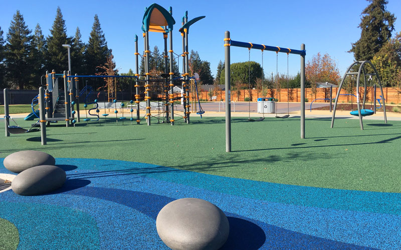
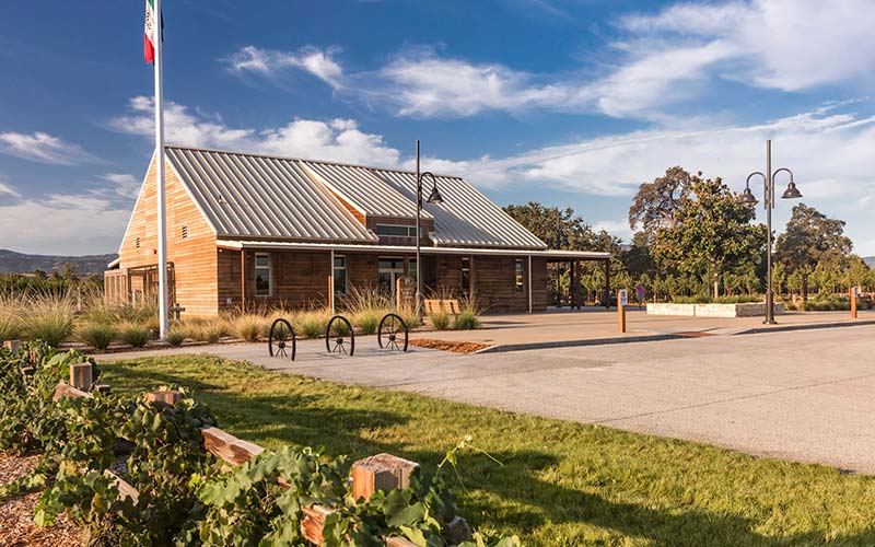
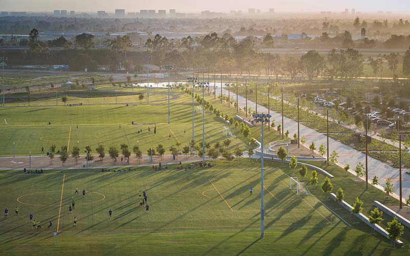
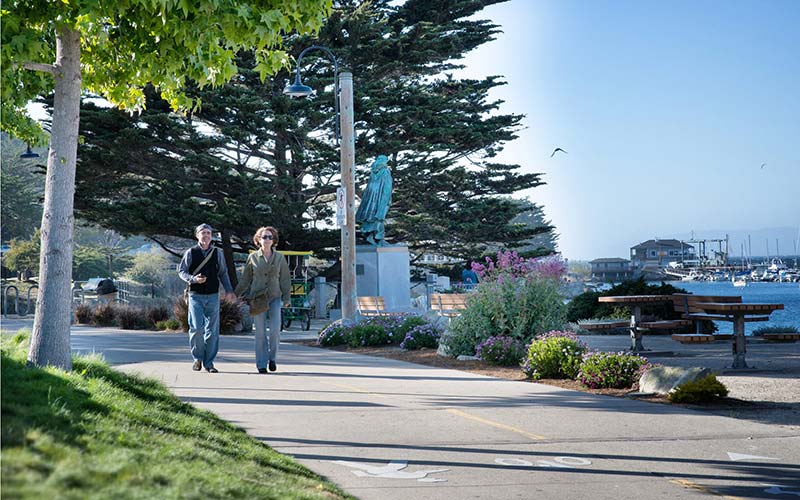
BFS was retained by Schaff & Wheeler, civil and water resources engineers, to provide landscape visualization and design services for a multi-year project for Foster City that addresses existing levee deficiencies over 6 miles of shoreline. Raising the levees was required to meet current FEMA guidelines and city-approved flood wall height to meet 2050 Sea Level Rise (SLR); the proposed landscape was critical to the community acceptability of the engineering solution. The hybrid levee design uses a combination of flood walls and earthen levee construction whose footprint impacts existing landscaped areas. The top of the old levee was also part of the popular San Francisco Bay Trail, heavily used by residents and visitors. Raising the levee required reconstructing the Bay Trail to current guidelines and reconfiguring the many access points to the trail to meet accessibility codes. The reconstructed earthen levees have been planted with a mix of low water use and climate adapted groundcovers, shrubs, succulents, and native grasses. BFS provided detailed section studies and visualizations of 2050 SLR and 2100 SLR levee scenarios of representative reaches of the levee system to help explain the visual impacts to the City council and the community. The project opened to the public in October 2023 and is the recipient of a California Trails and Greenways Award, as well the Project of the Year Award in the over $25 million category for the American Public Works Association, Silicon Valley Chapter.
The as-built conditions of the levee provide resilience against the 100-year flood hazard (stillwater and wave runup) with 3 feet of sea level rise. The State of California released updated science and policy guidelines in January 2024, according to which 3 feet of SLR represents “a reasonable upper bound for the most likely range of sea level rise by 2100.