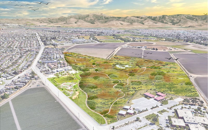
The Ensen Community Park and Open Space restoration project is a transformative initiative to convert 73 acres of agricultural land back to its original native habitat. The program creates a significant park and open space in the heart of a bustling, underserved urban community. https://bigsurlandtrust.org/carr-lake-salinas/
THE MASTER PLAN
BFS Landscape Architects was selected to craft a master plan to optimize the parcel’s use to benefit the land and the community. Throughout this process, Big Sur Land Trust actively engaged the Salinas community, collaborating with residents to develop a vision for the park and open space. These community conversations had a profound influence on the design.
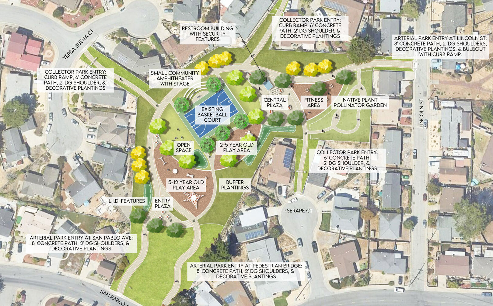
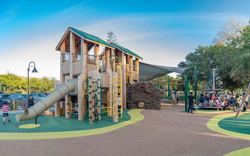
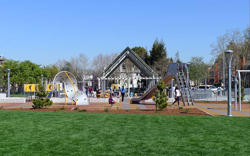
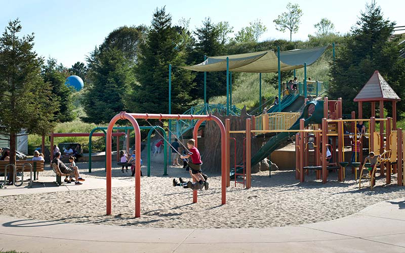
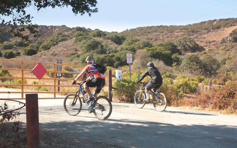
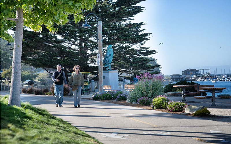
The community’s strong desire for a safe and inviting place to walk and recreate with family dogs led to the inclusion of walking trails, pathways, and a dog park facility. They also wanted a space that reflected their culture and created a vibrant, happy oasis. In response, the team designed colorful play equipment, custom benches, and signage.
The visionary leadership of Big Sur Land Trust and the people of the City of Salinas, with significant support from a diverse range of public and private funders, made the dream of the Ensen Community Park and Open Space project a reality.
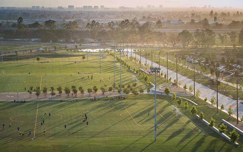
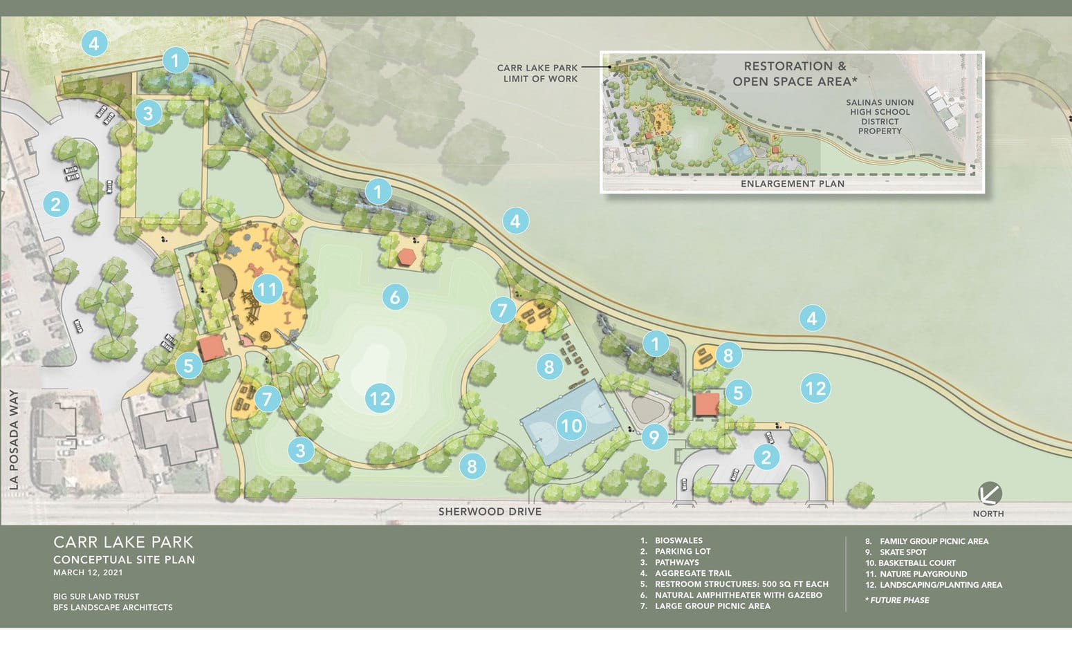
THE PARK
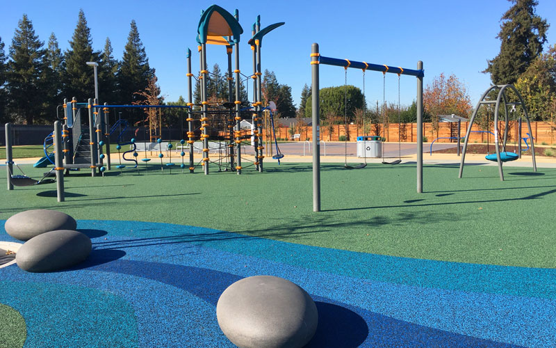
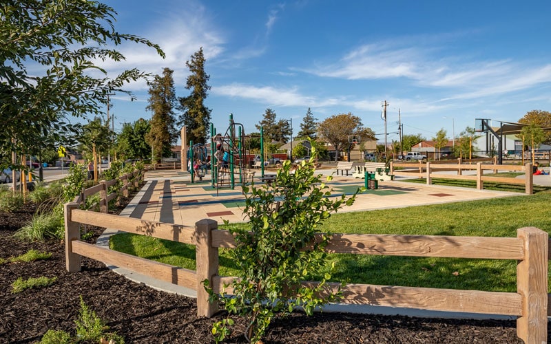
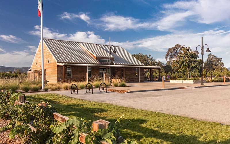
Ensen Community Park is a traditional park designed as a vibrant and inclusive space that meets the aspirations and needs of the local community. Despite the challenge of situating the six-acre park outside the 100-year floodplain, which limited its size and location within the master plan, the park remains fully usable and accessible year-round. The location allowed for the construction of essential structures such as parking, restrooms, shade structures, and fencing, ensuring comprehensive support for park visitors.
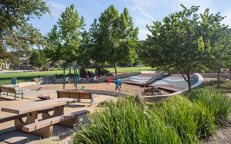
The park offers traditional programming and amenities, including play areas, recreational spaces, sports courts, picnic areas, a dog park, walking trails, and an amphitheater. A key project objective was to establish a connection to the adjacent Salinas Education Center to the south and provide direct access to the community neighborhoods to the north and west. The north-south trail system for pedestrians and bicycles runs parallel to Sherwood Drive, creating a safe travel corridor for the community. Additional multi-use trails connect the traditional park to the open space.
OPEN SPACE
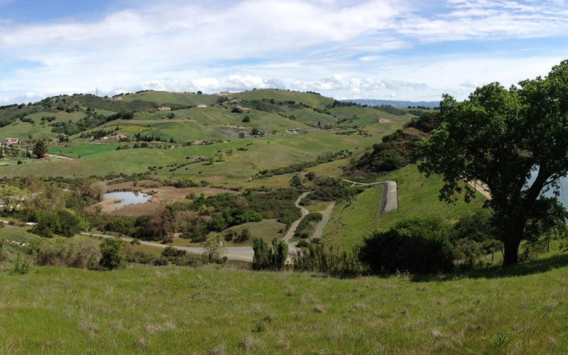
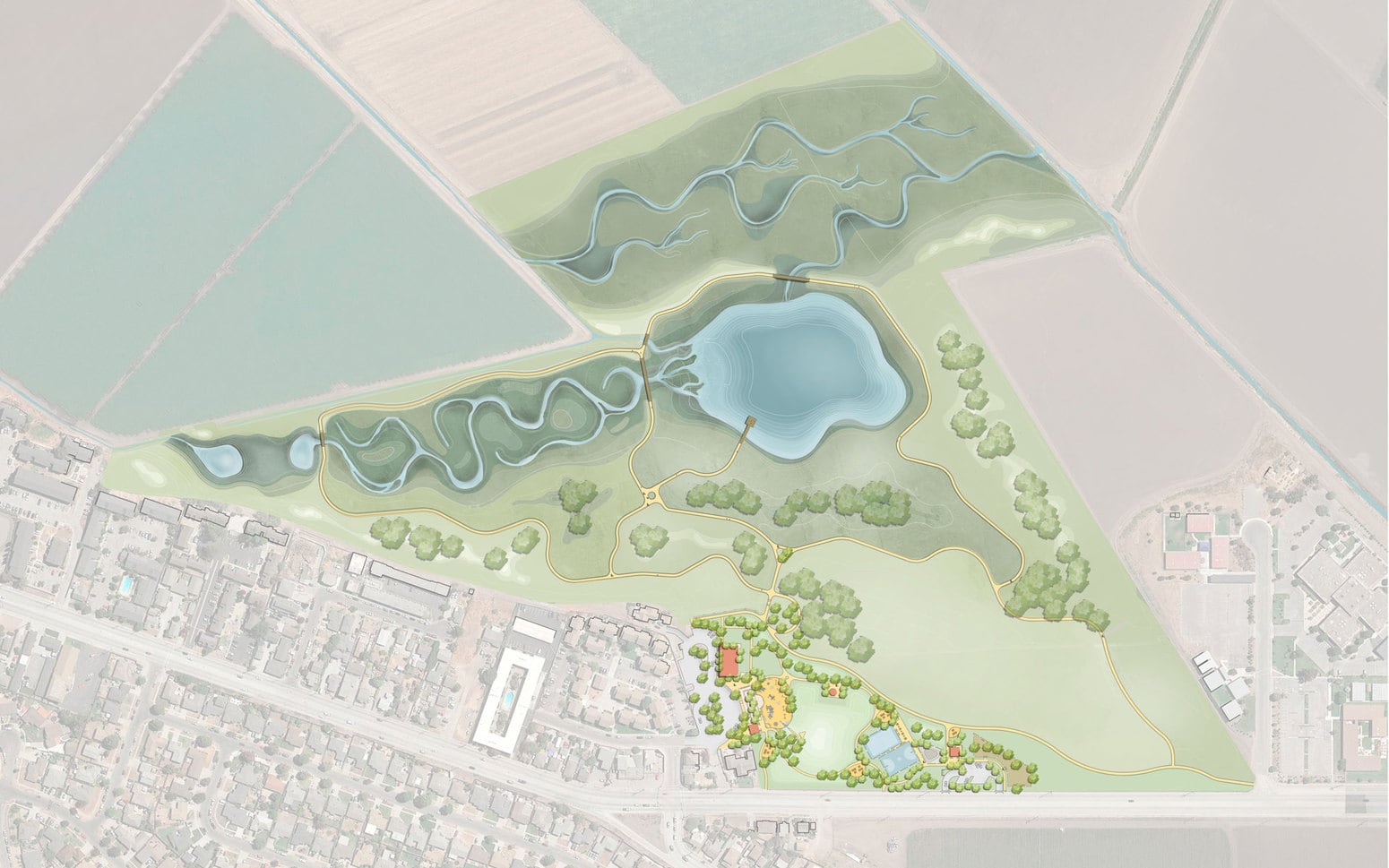
The Open Space Restoration Project focuses on enhancing the climate resilience of 67 acres of former agricultural land by transforming it into a seasonal wetlands pond, inset floodplains, and upland habitats. This initiative aims to mitigate flooding caused by seasonal variations and climate change through habitat reconstruction and rebalancing the land’s flood management capabilities.
Through modeling, the team, led by Balance Hydrologics, selected a methodology that implements hydrological infrastructure and effectively addresses flooding while restoring the land. As part of this approach, two creeks will undergo dechannelization, diverting into a winding backchannel to capture trash and debris before flowing into a seasonal wetland.
BFS crafted a planting and irrigation strategy in collaboration with Biotic Resources Group. Hedgerow Farms was contracted to collect local, endemic seed and plant material at Fort Ord, Garland Ranch, and several regional Big Sur Land Trust properties, which they will propagate and then hydroseed on the project site.
This project connects the community to recreation and open space while establishing a hydrology infrastructure that addresses emerging environmental challenges through innovative solutions. It serves as a unique model for other cities seeking to mitigate flooding and restore native habitats.
Learn more about the story behind the project here: https://storymaps.arcgis.com/stories/419ce0aa0af748d19a0be819bc226595
PARQUE COMUNITARIO ENSEN Y ESPACIO ABIERTO
El proyecto de restauración del Parque Comunitario y Espacio Abierto Ensen, dirigido por Big Sur Land Trust, restaura 73 acres de terreno agrícola a su hábitat nativo original. El programa crea un parque y espacio abierto significativo en el corazón de una comunidad urbana desatendida.
Por medio de una colaboración activa con los residentes de la comunidad de Salinas, BFS pudo diseñar un plan maestro que optimiza el uso de la parcela para beneficio de la tierra y de la comunidad.
La zona del parque de seis acres, ubicada justo afuera de la llanura aluvial de cien años, permanece completamente accesible durante todo el año y brinda un lugar seguro y atractivo que refleja la cultura local. El equipo diseñó equipos de juego coloridos, bancas de plaza personalizadas y letreros; y un corredor de viaje seguro para la comunidad con senderos que conectan el parque tradicional con el espacio abierto. Las comodidades del parque incluyen zonas de juego, espacios recreativos, canchas deportivas, áreas de pícnic, un parque canino, rutas de senderismo seguras y un anfiteatro.
La restauración de espacios abiertos mejora la resiliencia climática de los 67 acres de tierras anteriormente agrícolas, al transformarlas en humedales estacionales y hábitats de tierras altas.
La metodología de la infraestructura hidrológica afrontará las inundaciones al restaurar la tierra. Como parte de este enfoque, dos arroyos serán descanalizados y desviados hacia canales secundarios que atrapen escombros antes de fluir hacia un humedal estacional.
La estrategia de siembra y riego incluye la recolección de semillas y material vegetal endémico local en Fort Ord, Garland Ranch y varias propiedades regionales de Big Sur Land Trust.
Éstas serán propagadas y sembradas hidroeléctricamente en el lugar del proyecto.
Mediante el uso de soluciones innovadoras, este proyecto conecta a la comunidad con la recreación y los espacios abiertos mientras establece una infraestructura hidrológica que aborda los desafíos ambientales emergentes. Sirve de modelo único para otras ciudades que buscan mitigar las inundaciones y restaurar los hábitats nativos.